A 'Very Strong' El Niño Is Shaping Winter. NOAA's Outlook Favors a Wetter Eastern Seaboard
The Climate Prediction Center says El Niño is likely to persist through spring 2027. Its outlook leans wet along the East Coast and warm across the northern tier; researchers say strong El Niño winters can fuel nor'easters.
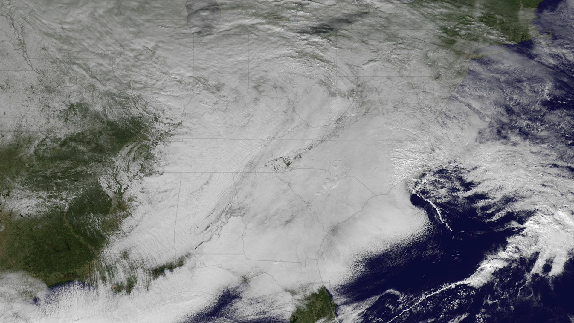
The El Niño now under way in the Pacific is "very strong" and is favored to last through spring 2027, according to NOAA's Climate Prediction Center, and it is the main driver of the agency's outlook for the coming winter.
In its long-lead seasonal discussion issued Oct. 15, the center wrote that "the seasonal outlooks for the upcoming winter and spring are heavily influenced by this very strong event." The latest weekly readings of the Niño 3.4 index, a standard measure of sea-surface temperatures in the central equatorial Pacific, stood at +2.4 degrees Celsius, with readings of +4.4 degrees off South America, and the center said there is "considerable remaining fuel" for further strengthening.
For November through January, the outlook favors above-normal temperatures across the northern tier and western third of the lower 48 states, the Ohio Valley and the mid-Atlantic. It gives an elevated likelihood of above-normal precipitation for much of California, the Southwest, the Plains, the Lower Mississippi Valley, the Southeast "and along the eastern seaboard." Where probabilities are close to normal, the center forecasts "equal chances."
NPR, summarizing NOAA's briefing, reported that forecasts show the Northeast could have both warmer temperatures and above-average precipitation, and that forecasters expect the Northeast and Mid-Atlantic to see flooding similar to the 2023 El Niño event, a record-setting year. Studies suggest El Niño can strengthen nor'easters and make them more frequent by pushing warm, moist air north, and nor'easters combined with high tides can erode the coast, NPR reported. Warmer does not necessarily mean less snow: during the strong El Niño of 2016, a Northeast blizzard dropped more than 30 inches of snow with 60 mph gusts.
Elsewhere the effects are already visible. NPR reported severe flooding in the Four Corners region in late October and a Kelvin wave of warm water raising sea levels along California's coast. NASA climate scientist Josh Willis described a strong El Niño as "like a monster that stretches all the way across the ocean." In the Pacific Northwest, below-average precipitation and warmth could mean a smaller snowpack, while NOAA meteorologist Jon Gottschalck said dry conditions in western Oregon and Washington could improve.
Climate scientist Daniel Swain cautioned that a wet winter will not end the Colorado River crisis. "The amount of water that would be required to do that," he said, "it's difficult to comprehend."
For Boston, the practical implications are about storms rather than averages. The city notes on its Deployables Day page that it has 47 miles of coastline and that since 1991 severe storms have triggered 24 disaster declarations, 14 of which brought major flooding. The city held its third annual exercise in deploying temporary flood barriers on Sept. 30.
Seasonal outlooks give probabilities, not forecasts of specific storms.
Sources
- NOAA Climate Prediction Center: Prognostic discussion for long-lead seasonal outlooks (Oct. 15, 2026) (opens in a new tab)
- NOAA: El Niño looms large over U.S. Winter Outlook (opens in a new tab)
- NPR: Forecasters are predicting a warmer and wetter winter (Oct. 28) (opens in a new tab)
- City of Boston: Boston hosts its third annual Deployables Day (opens in a new tab)